Live Satellite Tracking: Track everything, anytimeTM

Being the Earth a sphere - or better yet a geoid - there is the need of a projection system to go from the sphere to the plane. The problem is even bigger, as in fact Earth is not exactly spherical, its shape is flattened at the poles, than in the equatorial zone. This shape is denominated Ellipsoid. Besides of representing the surroundings of things, surfaces, and angles, it also represents the information that appears over the map, according to what it is considered relevant and what it doesnt. This, normally deppends on what is needed to be represented in the mapand the scale.
Currently this cartographic representations can be done with computer programs called SIG, on which those that has georeference from a tree and its location, until a complete city including buildings, streets, squares, bridges, jurisdictions, etc.
Amberes was the cartographic center in the second half from XVI century, when the city was the main port from the spanish empire with access to the North Sea ; with the fall of the spanish empire during Felipe III reign, and politic exercised by spanish goverments over flemish protestant, big part of this ones left the spanish Netherlands (currently, Belgium) and start working in the rebels Netherlands: the "The Netherlands United Provinces Republic", establishing this way that in the first half from XVII century was Ámsterdam the main source of modern cartography, after this, the momentum would pass to France, until the middle of XVIII century, and thereafter to Great Britain, same way to the United States from XIX century.
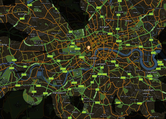
Cartography over the time of Web 2.0 has extended until internet, enabling the emergence of content created by the user. This definition means that exists maps created in the traditional way - through contributions of severals cartographers - or with information given by the public. Currently, exist a high number of portals that allows to visualize and consult for maps of all around the world.